Back to all cases

Mapbox Maps and Geocoding equip OneSoil farmers with the data insights make smart field management decisions

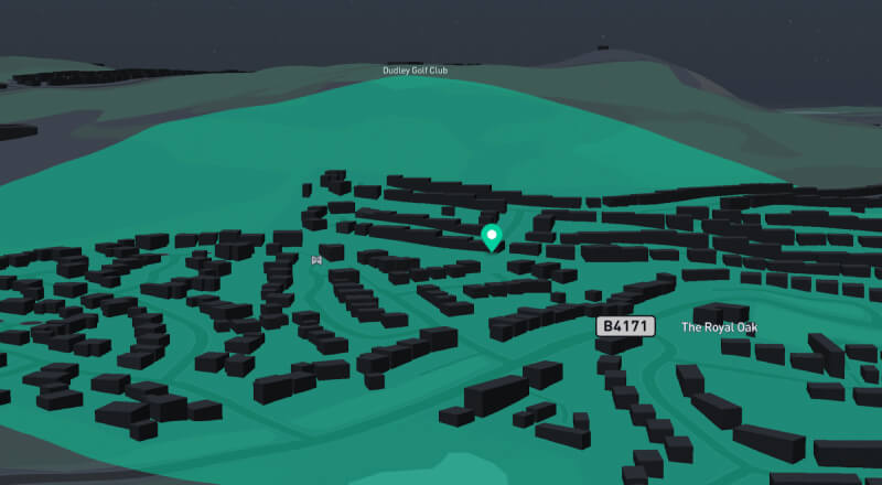
Key benefits of building with Mapbox

  • Mapbox provides a highly flexible and scalable mapping platform for large-scale data visualizations
  • A map-driven product demands the highest quality base maps, rendering, and tileset hosting
  • Mapbox Search makes it easy to add address search and geocoding features

products used

Base Maps

Mobile Maps SDK

Search

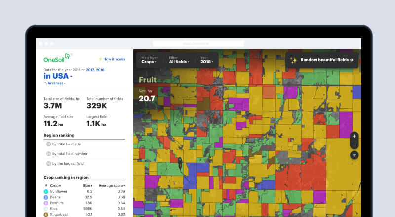
When you think of farming tools, APIs probably aren’t the first thing that come to mind. But farmers are using modern tools like OneSoil to tackle their 3,000-acre-sized problems.

OneSoil helps farmers analyze tens of millions of agricultural fields worldwide, so farmers can make smarter field management decisions and monitor crops. Mapbox visualizes and plots that massive amount of data on a map, so farmers can see what’s growing in their backyard and beyond.

Data about a field will always contain a map and give a location. The starting point for any visualization and analytics that we do is the map and Mapbox for us is a critical element of our application from a UX and UI point of view.

Morten Schmidt, CEO, OneSoil
map.onesoil.ai main page
Field data
Maize data
Mobile version

relevant industries

Read more

Low cost, long life asset tracking with Mapbox GL JS, Directions, Search, and Map Matching

Mapbox GL JS

Directions API

Map Matching API

Search

Locate health services fast with Mapbox GL JS and Geocoding

Mapbox GL JS

Search

Turning every story into a visual journey with Mapbox Maps and Geocoding API

Base Maps

Search

Ready to get started?

Create an account or talk to our experts.