3D Satellite Maps: Updating 135 million km² of high-resolution imagery + launching GL JS v2

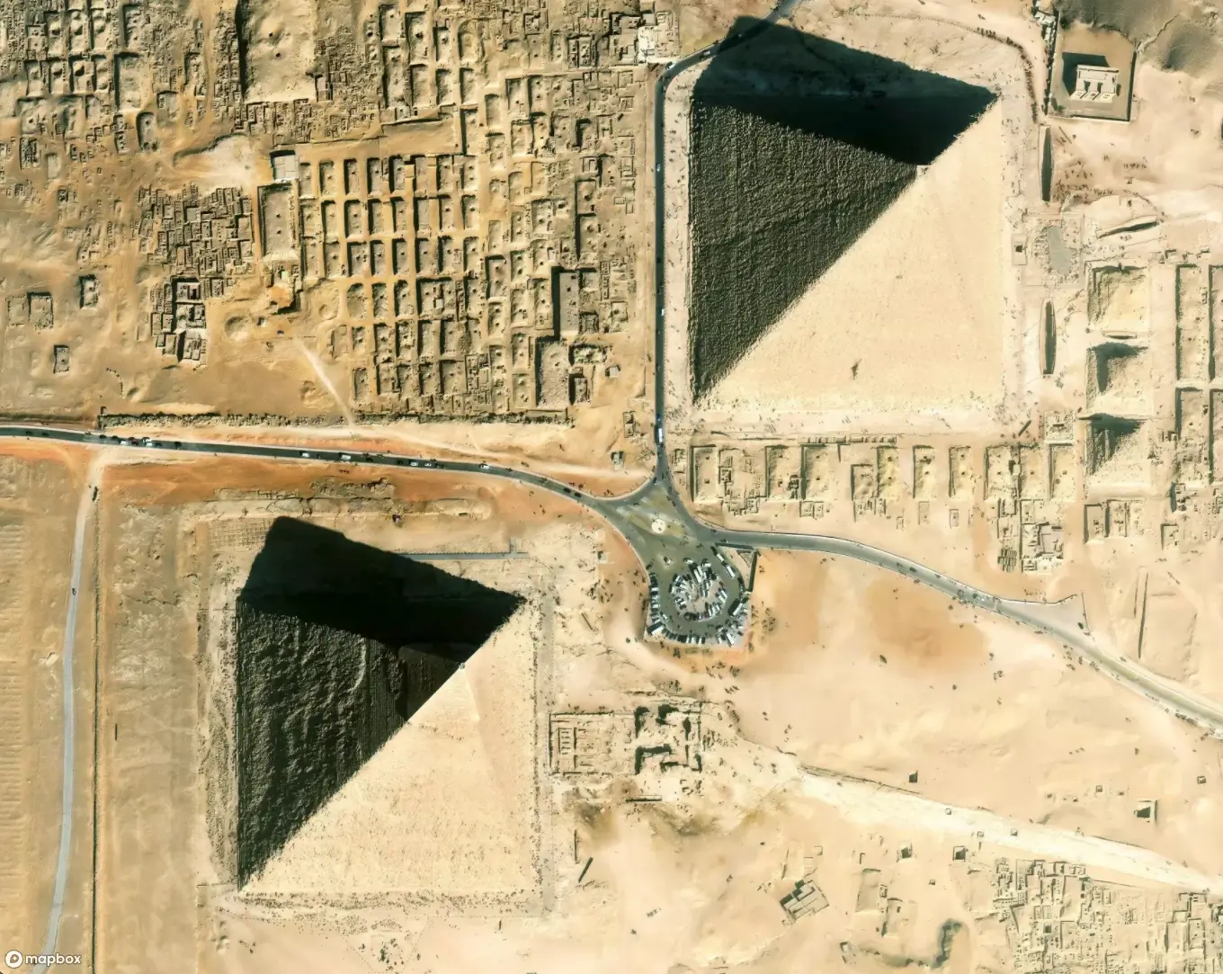
We just updated 135,000,000 km² of satellite imagery from Maxar, the industry leader in high-resolution commercial satellite imagery. This is our largest purchase of Maxar’s Vivid Basic basemap to date, providing a complete update and refresh to all of Mapbox's satellite imagery. And it looks stunning! The obvious question is what 14 million km² didn’t get updated? Spoiler alert, a little of Antarctica and Greenland.
This means we’re refreshing imagery for the world. The new data is from Maxar’s WorldView satellites — the most advanced, highest-resolution Earth observation instruments of their kind, outside of spy satellites that we don’t know about.
To get a sense of the scale of the data, Maxar’s WorldView-3 satellite can collect enough images to cover the entirety of France every day! And that’s only one of several advanced satellites that collected the imagery for Vivid Basic, Maxar’s global imagery basemap. Vivid Basic has 50 cm native resolution and offers a balance of currency and visual aesthetics. Stitched together, it’s a fresh, visually consistent, beautiful portrait of our planet.
The combination of image quality, image volume, and recency — combined with the launch of GL JS v2 — transforms the interactive map experience. Not only does this resolution let us go in to zoom level 18, but at z19, z20, etc, we'll smoothly overzoom the data so that it continues to show on the map. This imagery lets you read runway markings, count cars and shipping containers, and see inside buildings under construction. And its beautiful colors and textures make it great for finding landmarks, navigating on a drive, and even planning a hike or ride.
This imagery, combined with the new GL JS v2 web SDK, is the canvas for creating totally custom maps for the web and mobile. Add in Mapbox Tiling Service (MTS) and this allows the processing of massive sets of data into custom vector tilesets, continuously updating the maps as the data changes. MTS creates and updates data using distributed and parallelized processing, meaning data is processed much more quickly than is possible with a standard, single server setup.
This purchase from Maxar is absolutely amazing for our product. To put the magnitude of this purchase in historical perspective, read about some previous updates that we considered large in their time:
● Updating 8.2 million km² of high-resolution satellite imagery (Jul 14, 2017)
● Three million km2 of super high resolution imagery (Oct 27, 2015)
We're pushing this data live as we process it, and will complete everything by early January. Check out some of the awesome changes this new imagery brings to our map, along with some beautiful images from around the world:
Previously flat images come to life with 3D GL-JS
Full cities appear from old, low res imagery over Taihe, China:
Individual image strips disappear outside Chennai, India:
New features appear with updates in Manchester, UK
Clear cutting in the Amazon, Brazil:


