


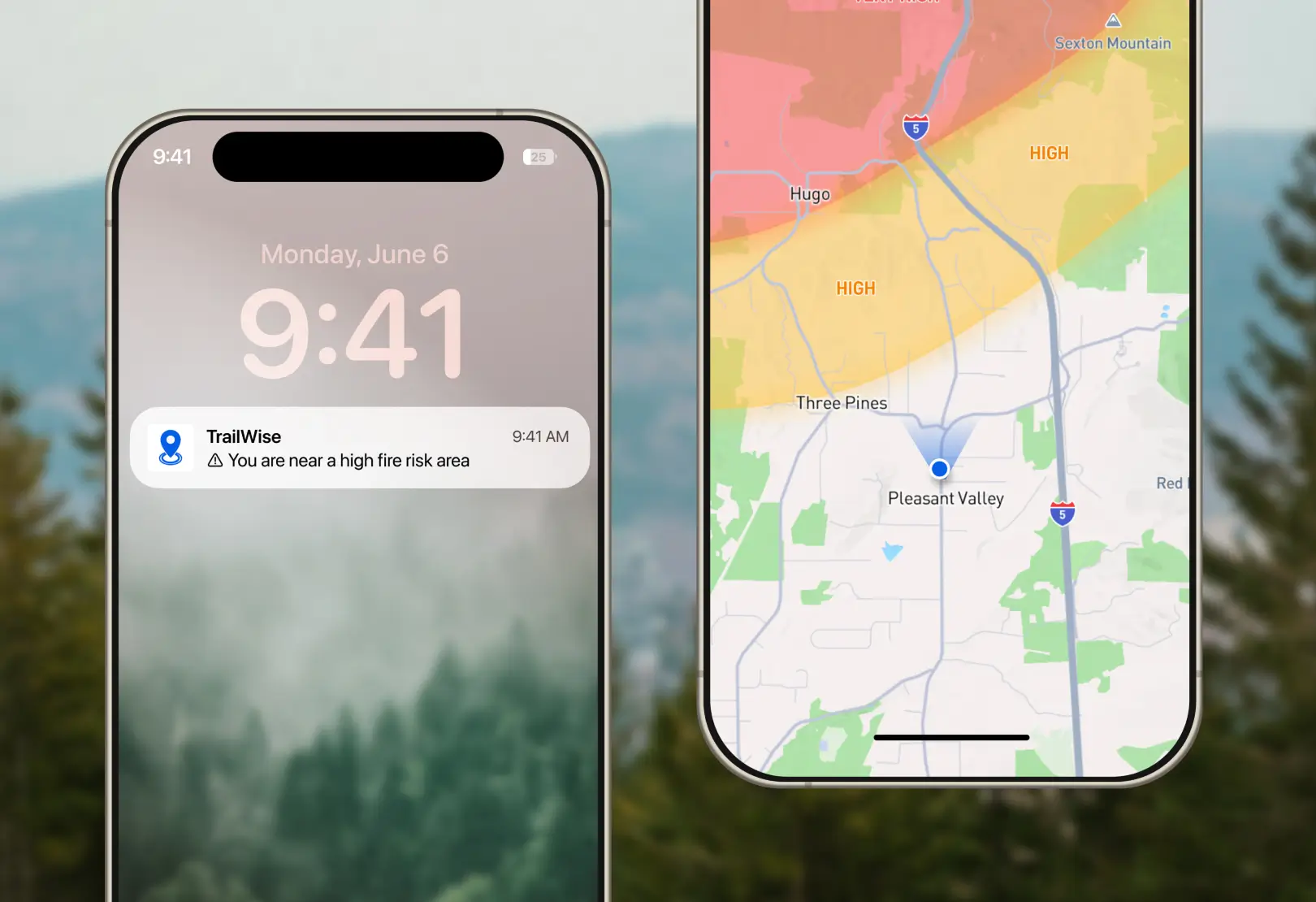
New Geofencing API simplifies managing large-scale geofences
Upload and monitor geofenced areas, then trigger alerts. For example, outdoor organizations could trigger alerts when someone has entered a restricted or dangerous area.

"On average, apps experienced +13.3% increase in MAU and +15.0% time spent/user after installing Mapbox SDK"
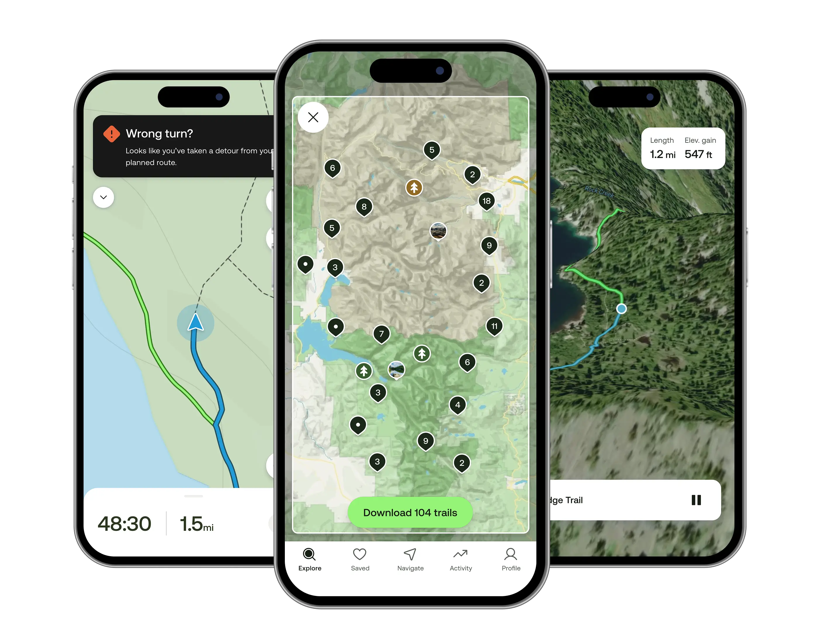
Read more >Mobile-friendly, offline-ready
Build maps that users can take deep into the woods.
Beautiful topography
Express the topography of the landscape by adding contour lines and hillshades.
Terrain data
We process elevation and landcover information to classify everything from farmland to forests.
Street-level detail
Create maps designed for the outdoors with worldwide street-level details.
Mobile-friendly, offline-ready
Build maps that users can take deep into the woods.
Beautiful topography
Express the topography of the landscape by adding contour lines and hillshades.
Terrain data
We process elevation and landcover information to classify everything from farmland to forests.
Street-level detail
Create maps designed for the outdoors with worldwide street-level details.
Find your way outside, even when you’re offline
AllTrails is the world's largest and most trusted outdoor app. Mapbox equips AllTrails with an all-in-one solution that can search trail routes, customize map styles, take maps offline, visualize recorded hikes, and even provide driving directions to a trailhead.

Discover the perfect campsite, trail, or adventure
Recreation.gov uses Mapbox to provide an all in one platform for discovering, planning, and booking the perfect outdoor trip. For people looking to plan longer vacations, their “Trip Planner” uses our maps and Directions API to plan out multi-stop trips, get distances between locations, and find interesting stops along the way.


Plan the perfect run
Runkeeper helps millions of athletes explore new routes by planning and tracking runs with GPS data. Their custom map style emphasizes running paths and altitude changes, and the web interface makes it simple to track mileage with custom map markers.


Recommended base map
Mapbox Outdoors is a general-purpose map with curated tilesets and specialized styling tailored to hiking, biking, and the most adventurous use cases.
- Trails and paths
- Curated terrain data
- Relevant points of interest
Showcases


Ready to get started?
Create an account or talk to one of our experts.