Expanded support for raster data enhances weather and imagery visualizations
Heading
Lorem ipsum dolor sit amet, consectetur adipiscing elit, sed do eiusmod tempor incididunt ut labore et dolore magna aliqua.
Mapbox launches full platform support to efficiently process, style, and serve raster data, from weather visualizations to custom satellite and aerial imagery.
Mapbox launches full platform support to efficiently process, style, and serve raster data, from weather visualizations to custom satellite and aerial imagery.
In April, Mapbox launched a private beta for processing, styling, and rendering high-precision raster data. Support for processing NetCDF and GRIB rasters, common formats for weather data, is now generally available to all Mapbox customers. Support for processing GeoTIFF raster data has also been added to more efficiently bring custom satellite and aerial imagery to the platform. This data is processed and tiled through the Mapbox Tiling Service (MTS).
Improved visualization and flexible styling of weather data
The new tiling capabilities of MTS mean that the numerical information in NetCDF and GRIB raster data — like temperature degrees or humidity percentage — now persists from processing to render. The numerical data can be styled and queried at run time for dynamic colorization or point querying, creating more visually appealing, interactive, and engaging weather maps.
MTS eliminates the need for Mapbox customers to invest in and manage their own tiling infrastructure — saving time, cost, and resources. Customers can migrate to a single tech stack and pipeline for raster and vector data and let Mapbox handle processing and hosting. This can save hundreds of hours of valuable engineering resources and hundreds of thousands of dollars in building and maintaining a proprietary processing pipeline.
Expedition mapping company ZeroSixZero uses the new MTS raster data features in order to enhance the visualization of weather data layers in web applications.
"Self hosted data processing pipelines can be cumbersome and full of failure points, often requiring significant time and resources to develop, host, monitor and maintain. With raster support for MTS, we get all the control we need without the overhead of building and managing our own tooling. This has allowed us to save hosting costs and free up time to spend on developing features for users rather than troubleshooting pipelines." Anthony Goddard, Expedition Map Maker, ZeroSixZero
Particle animation for more engaging and informative maps
MTS support for tiling raster data also enables new methods of animating raster particles for both web and mobile applications. Data sources that include attributes like magnitude and direction, such as wind, waves, or currents, typically have lengthy gaps between the data increments (for example, wind data that is only available every 12 hours). For an effective and smooth animation effect, particle animation interpolates, or predicts, the movement of the data between the increments. Users get a more intuitive understanding of weather patterns, instead of needing to interpret choppy data. The MTS support for particle animation also allows for particles to persist when zooming and panning the map, improving perceived application performance.
MTS now allows for more efficient processing of GeoTIFF data without file size limitations. Customers can bring their own satellite or aerial imagery to use alongside, or instead of, Mapbox Satellite. Custom imagery sources are beneficial when displaying seasonal imagery, including remote sensing imagery layers, or viewing a time series of imagery. The expanded GeoTIFF support is also useful for working with proprietary raster data like LTE and 5G coverage data.
Process bands into a False Color image to highlight vegetation
Process bands into a Natural Color image to accurately represent features
Process and serve raster data more efficiently
MTS delivers raster data in the new Mapbox Raster Tile (MRT) format, via the new API api-rasterarrays. MRT is a range-requestable format optimized for efficient presentation of data with the Mapbox SDKs for web and mobile. Once a raster tileset is published, users simply add the raster-array type tileset source to their map and then use that source to create styled map layers.
The situational awareness platform Disaster Tech uses the MTS support for raster data to scale their services faster.
"Mapbox provides a solution where we don’t have to depend on maintaining our own Geoserver since the processing and hosting is done with them. Instead of caching our own raster tiles, Mapbox does this for us, which allows us to scale to many customers." Dr. Jay Shafer, Director of Utilities, Disaster Tech, Inc.
More control over presentation of raster data
As with all custom data layers added to a Mapbox map style, raster array sources can be previewed, styled, and shared using Mapbox Studio. Mapbox Studio provides a graphical interface that allows users to apply pre-set color palettes, create custom color gradients, manually edit colors, preview bands within the tileset, and more.
Choose from pre-selected color palettes
Create a custom color gradient
Multi-region architecture improves reliability and compliance
Alongside raster support capabilities, Mapbox has also enabled Multi-Region support for MTS processing, hosting, and tile serving, for both raster and vector data. . Processing and storage redundancy improves MTS uptime and availability by protecting against unexpected region-wide outages. In the event of a primary region outage, MTS seamlessly and automatically fails over to the secondary region. Multi-Region support also enables compliance with data sovereignty requirements, as customers can choose to store data in two regions. Contact Mapbox at mts-multi-region@mapbox.com to discuss implementing multi-region support for MTS.
Start building with rasters in MTS
MTS support for raster data is now generally available to all Mapbox customers, with full documentation available on the Mapbox Docs site. For help with accessing the new capability or understanding the documentation, fill out this form and let Mapbox know. A Mapbox representative will then reach out.
Lorem ipsum dolor sit amet, consectetur adipiscing elit, sed do eiusmod tempor incididunt ut labore et dolore magna aliqua.
Lorem ipsum dolor sit amet, consectetur adipiscing elit, sed do eiusmod tempor incididunt ut labore et dolore magna aliqua.
Related articles
Maps
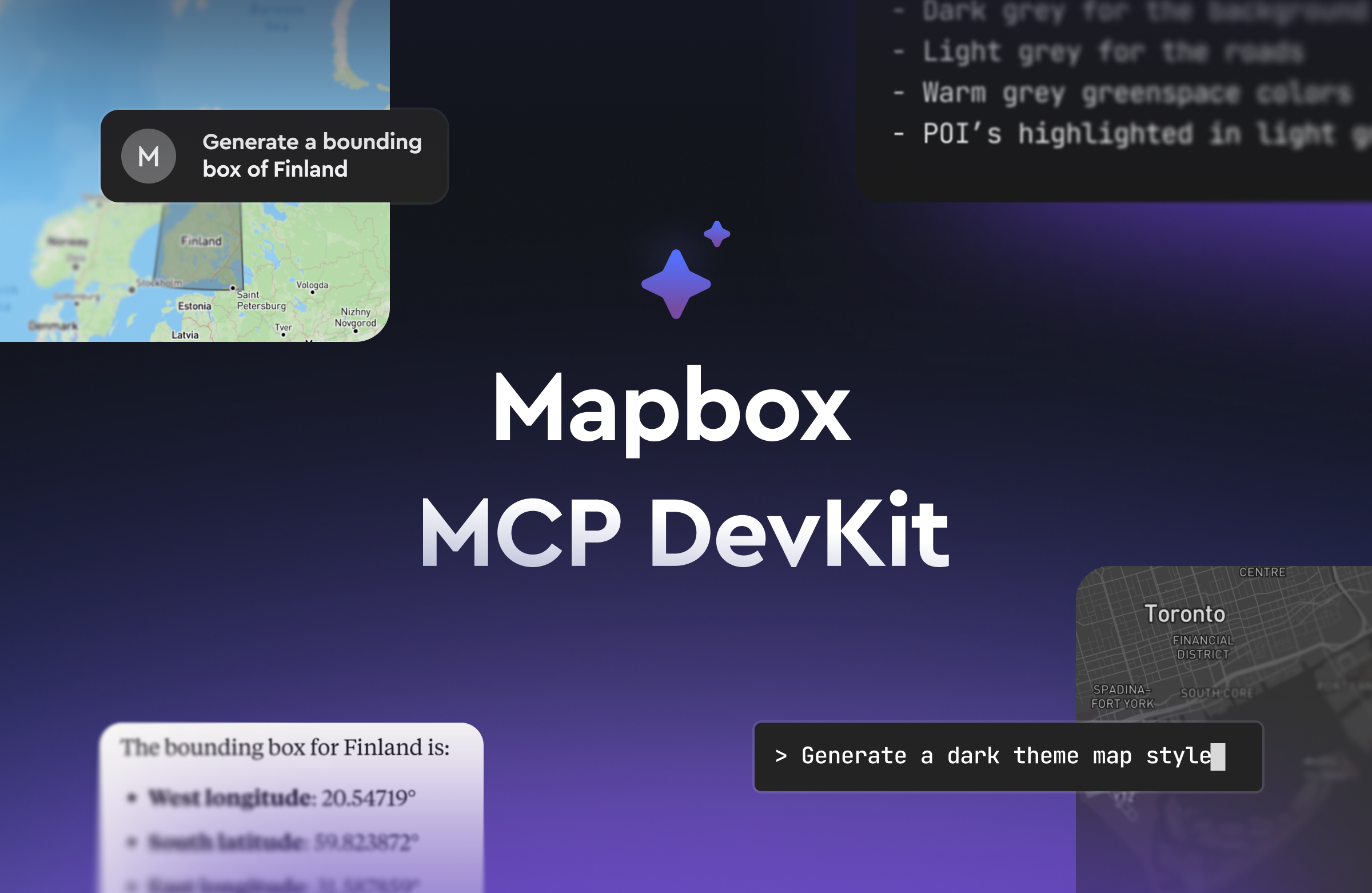
The Mapbox MCP DevKit: Equip AI coding tools with geospatial skills for Mapbox development


.png)